Precision Drone
Mapping & Data Capture
Orthomosaics, 3D terrain models, and construction progress data for engineering, land development, and infrastructure projects — scoped around your site and required deliverables.
Get a Free Project Quote
Share your project details for a tailored quote.
Real Deliverables From Real Projects
Every dataset is prepared for your engineering, planning, or construction workflow.
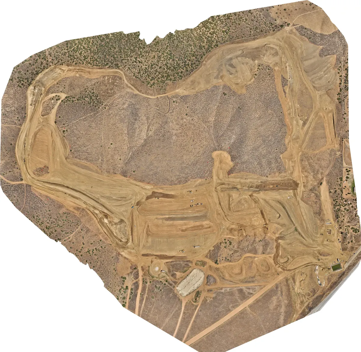
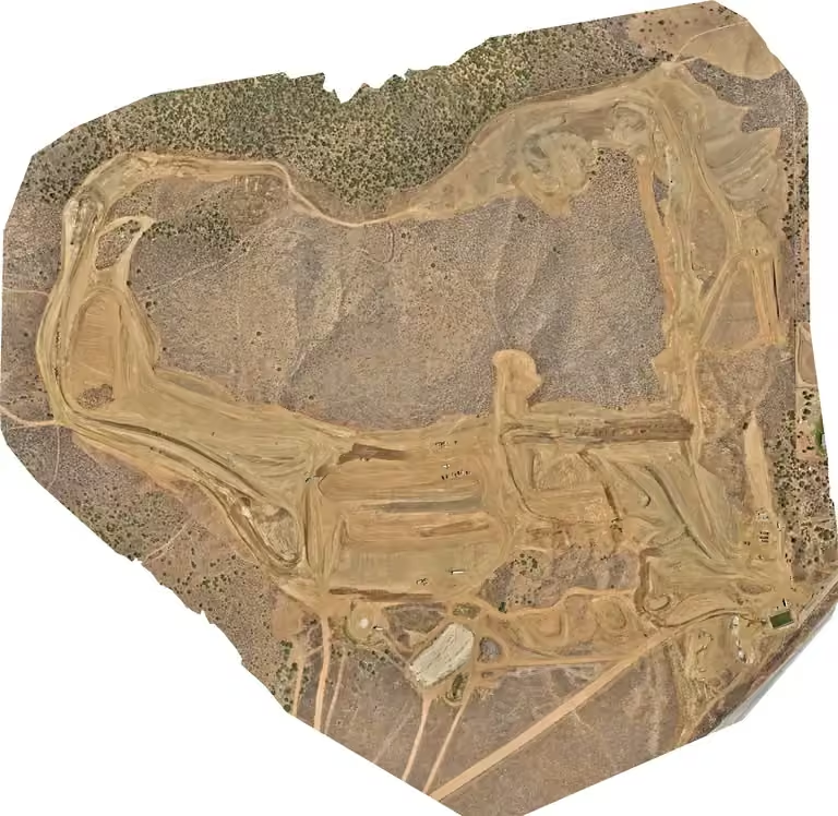
Orthomosaic Map
Georeferenced 2D aerial map — Agua Dulce grading project
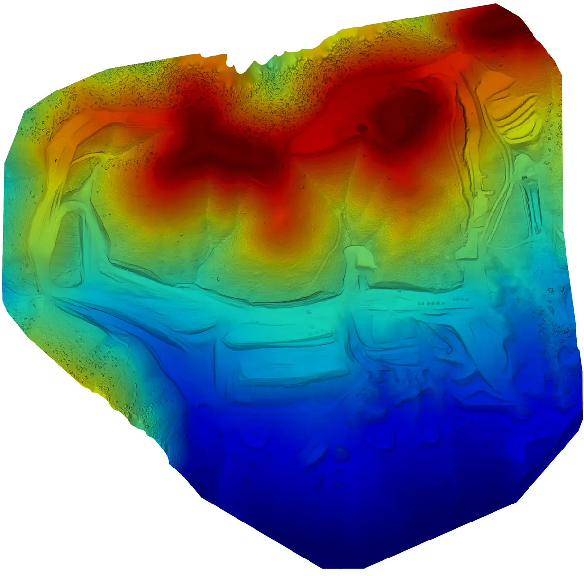
DSM Elevation Model
Colorized digital surface model with elevation legend
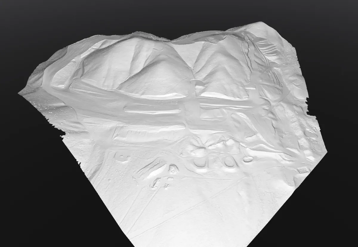
3D Terrain Model
White-shaded TIN terrain model for engineering design
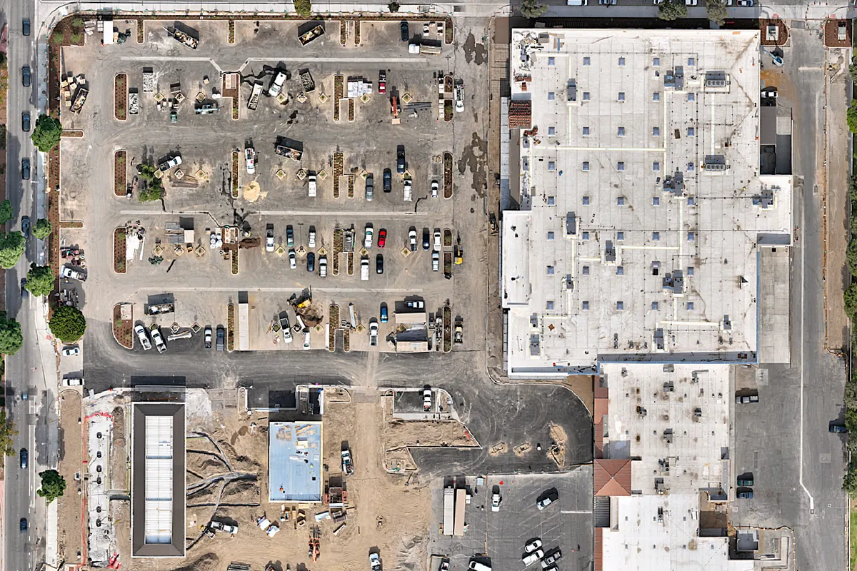
Construction Progress
Aerial documentation of active grading and site development
What We Map
Precision drone data for construction, engineering, and land development projects across Southern & Central California.
Orthomosaic Mapping
Georeferenced 2D aerial maps stitched from overlapping images for site planning, permitting, and progress documentation.
3D Terrain Models
High-resolution DSM, DTM, and point cloud data for grading analysis, cut/fill calculations, and engineering design workflows.
Construction Progress
Recurring aerial data captures that document site changes over time — compare phases, track earthwork, and keep stakeholders informed.
Volume & Stockpile Calc
Stockpile and earthwork volume calculations from drone-derived point clouds for project documentation and planning.
How It Works
From first contact to final deliverable — a simple, professional process.
Request a Quote
Fill out the form or call us. We'll review your site details, acreage, and required deliverables.
We Fly Your Site
Our experienced commercial pilot captures high-resolution imagery with precision GNSS accuracy using professional-grade equipment.
Receive Your Data
Processed deliverables — orthomosaics, point clouds, and terrain models — shared through a secure delivery workflow.
Deliverable Formats
We deliver data in the formats your team already uses.
Ready to Start Your Mapping Project?
Call us directly or fill out the form above to discuss your mapping project.
(805) 222-7858