What We Do
See What the Naked Eye Can't
Thermal imaging documents heat anomalies that may not appear in standard cameras — including solar-cell hotspots, roof moisture intrusion, HVAC issues, powerline conductor anomalies, and building-envelope heat loss. Amped Aerial's drone-mounted thermal sensors collect radiometric data across large areas without routine manual access to each inspection point.
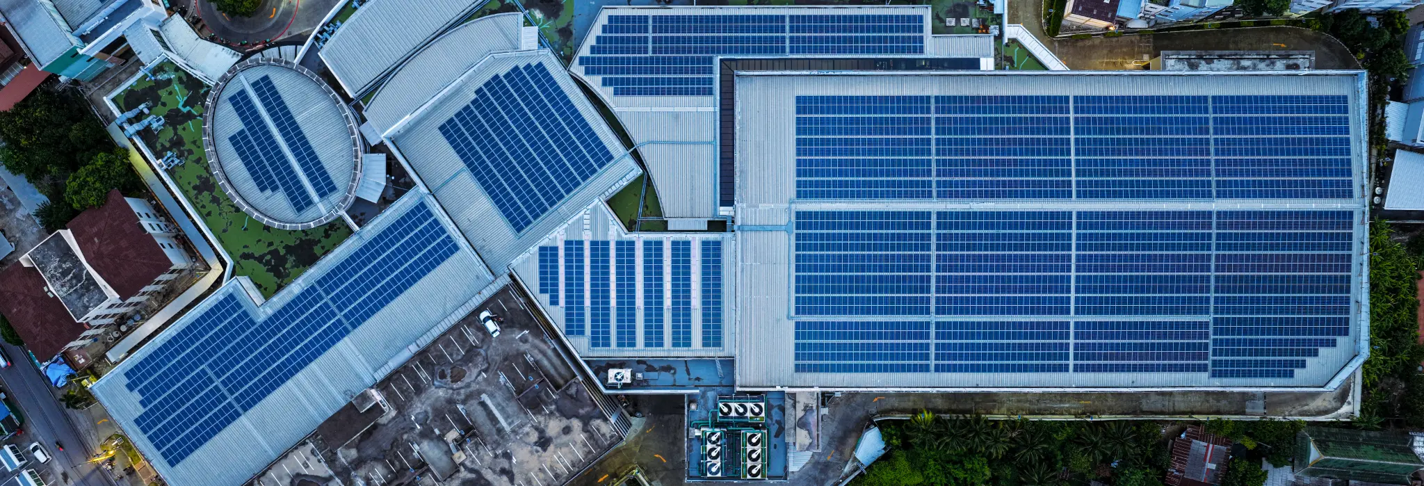
We provide solar PV inspections for rooftop and utility-scale installations, with panel-level anomaly reports that can include GPS coordinates, temperature differentials, and defect classification. Thermal data can be processed in cloud-based inspection platforms for maintenance review and follow-up.
Thermal inspection supports condition assessment. We serve commercial property owners, facility managers, utilities, and insurance professionals who need thermal data for building energy audits, infrastructure condition assessments, and loss documentation. Licensed professionals interpret the data where a project or regulation requires it.
What You Receive
Radiometric Thermal Images
Full-resolution thermal images with embedded temperature data — every pixel is a temperature measurement.
Thermal Orthomosaic
Georeferenced thermal map of the entire site showing temperature distribution across the full footprint.
Anomaly Report with GPS Coordinates
Itemized defect list with panel ID, GPS location, temperature delta, and defect classification.
RGB + Thermal Comparison
Side-by-side visible and thermal imagery for each anomaly — ideal for maintenance work orders.
Cloud Portal Access
Interactive online map with clickable anomaly pins, temperature data, and exportable reports.
IEC 62446-3 Aligned Reporting
Inspection reports aligned with international solar inspection standards for warranty and insurance use.
Common Applications
- Utility-scale solar farm inspections
- Commercial and residential rooftop PV inspections
- Roof moisture and heat loss detection
- Powerline and utility thermal inspections
- HVAC performance and failure assessment
- Building energy audits and envelope analysis
- Insurance loss documentation
- Industrial facility thermal inspections
Who We Work With
- Solar farm owners and operators
- Commercial property owners and facility managers
- Solar installation companies
- Utility and energy companies
- Insurance adjusters and claims professionals
- HOA management companies
- Industrial plant managers
- Building energy consultants
Sample Work
Project Gallery

Commercial rooftop solar — hotspot panel identification
Cell-level hotspot detection — DJI H20T thermal sensor
Large commercial solar installation — thermal orthomosaic with anomaly markers
Solar carport — geo-referenced anomaly pins across dual-section array
Cloud inspection portal — panel-level anomaly data and GPS coordinates
High-voltage transmission tower inspection — Los Angeles, CA
Get a Project Quote
Get a Project Quote
Tell us about your project and we’ll review the details with you. For urgent requests, call (805) 222-7858.