Insights & Resources

The Amped Aerial Blog

Practical guides, project insights, and industry knowledge from the field — covering drone mapping, LiDAR, thermal inspection, and aerial data across Southern & Central California.

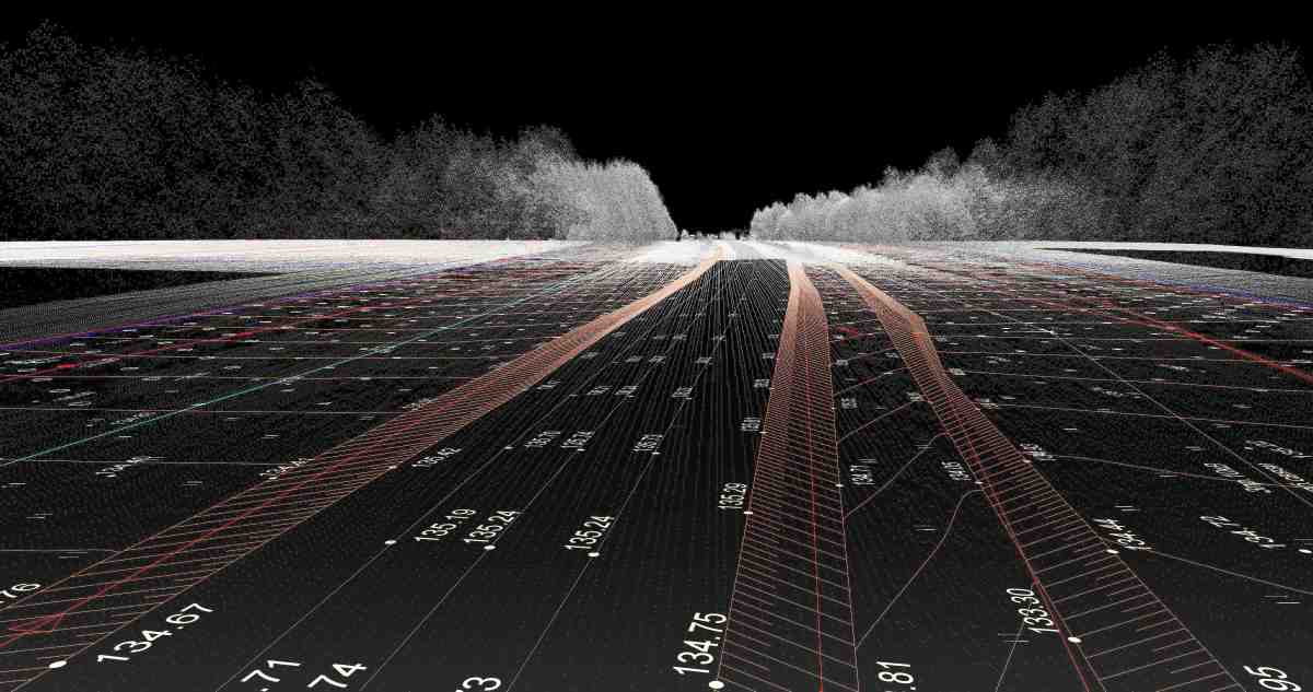
What Deliverables Do You Get From a Drone Mapping Project?
Drone Mapping

What Deliverables Do You Get From a Drone Mapping Project?

Learn how orthomosaics, point clouds, terrain models and CAD files from drone mapping fit into construction, engineering and land development workflows.

June 24, 20267 min read
Read Article
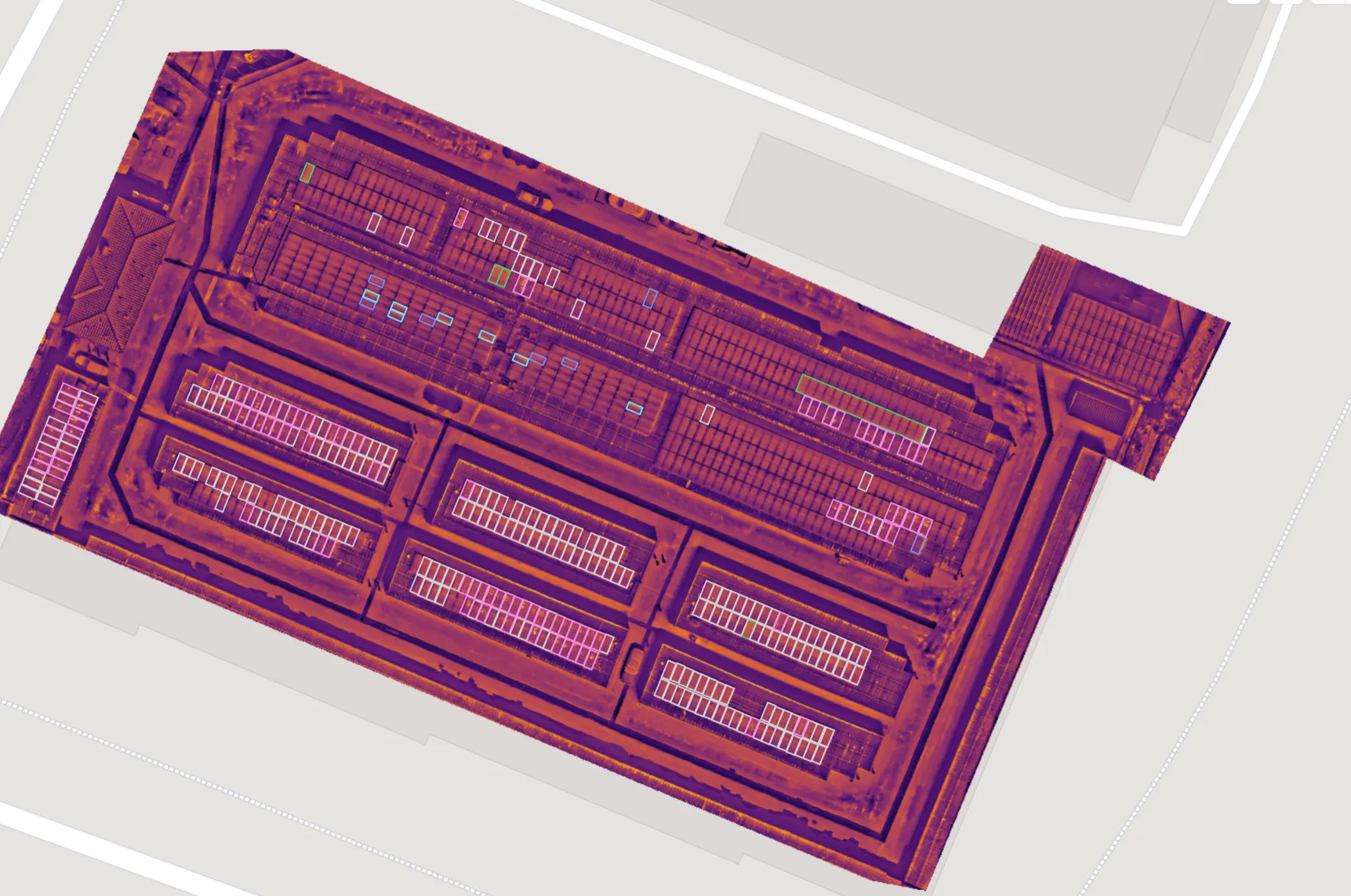
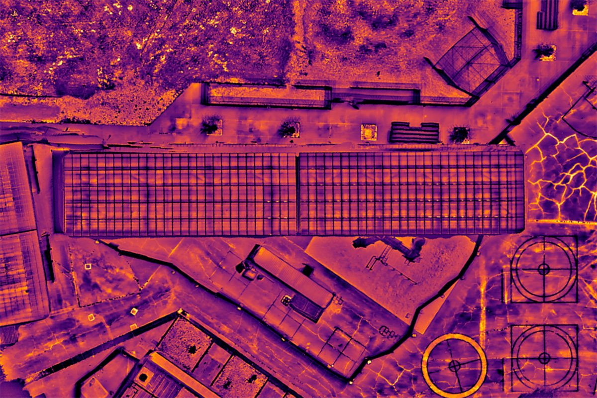
Solar Panel Thermal Inspection in California
Thermal Inspection

Solar Panel Thermal Inspection in California

How thermal drone imagery helps locate solar panel temperature anomalies for maintenance teams in Southern and Central California.

May 16, 20268 min read
Read Article
Thermal Drone Inspection for Solar & Roofing
Thermal Inspection

Thermal Drone Inspection for Solar & Roofing

Why thermal drone inspections catch solar defects, roof moisture and heat loss before they become costly failures.

May 13, 20267 min read
Read Article
LiDAR vs. Drone Mapping: Which to Choose?
LiDAR

LiDAR vs. Drone Mapping: Which to Choose?

LiDAR vs. photogrammetry drone mapping — accuracy, cost and best-use cases to pick the right mapping method for your project.

May 13, 20267 min read
Read Article
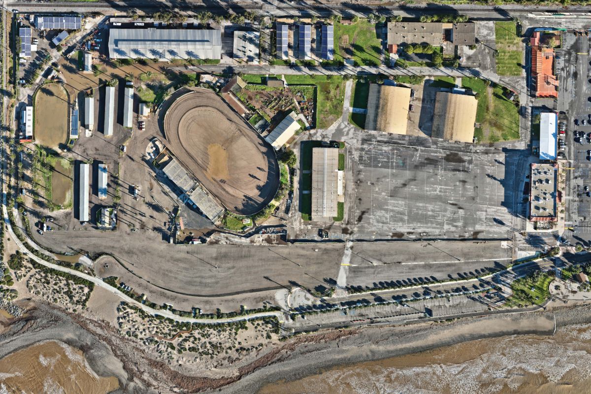
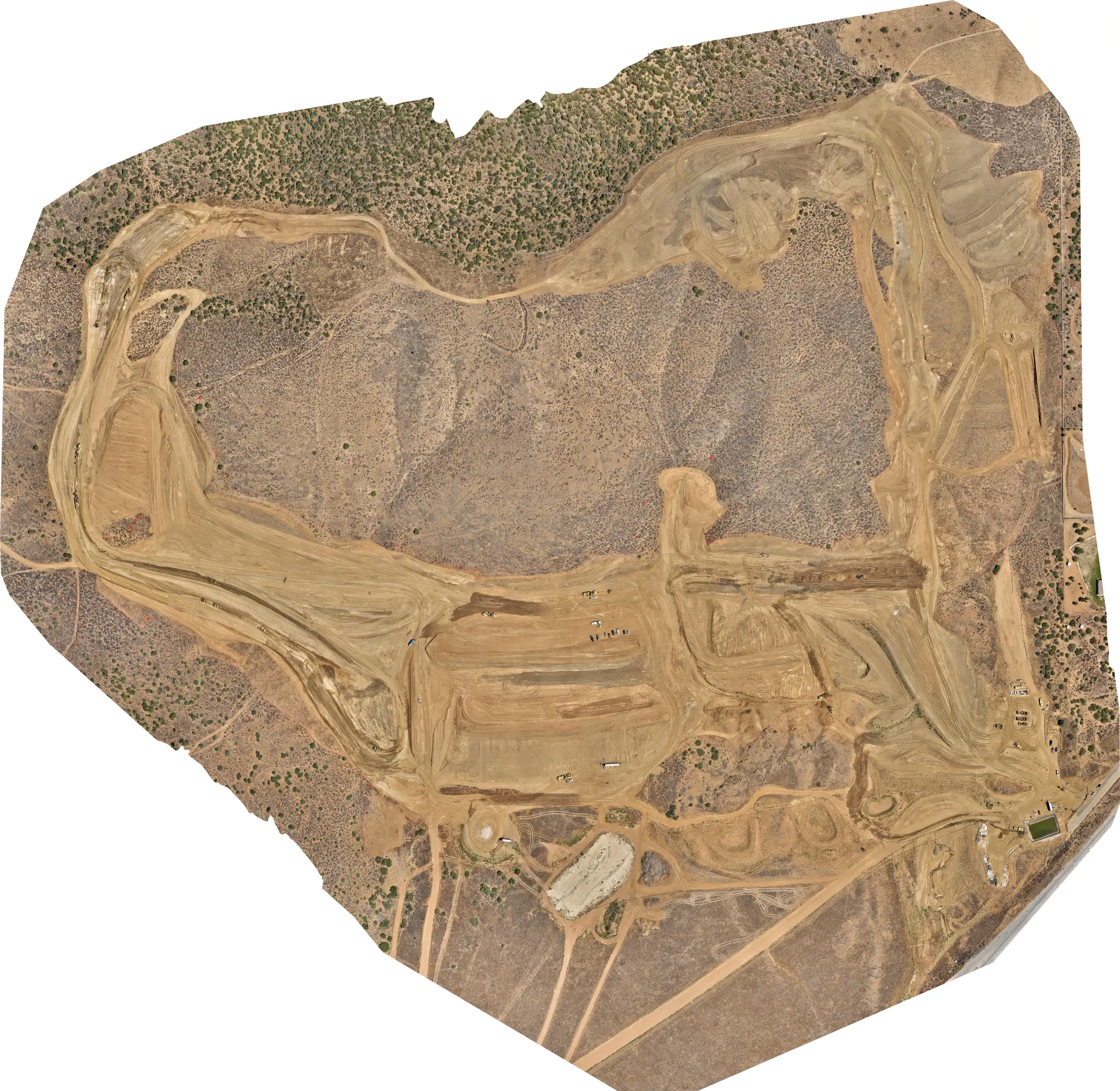
Drone Mapping in Southern & Central California
Drone Mapping

Drone Mapping in Southern & Central California

A guide to aerial mapping projects in Southern and Central California, from flight planning to orthomosaics, terrain data and 3D models.

May 13, 20268 min read
Read Article